 vesseltracker.com
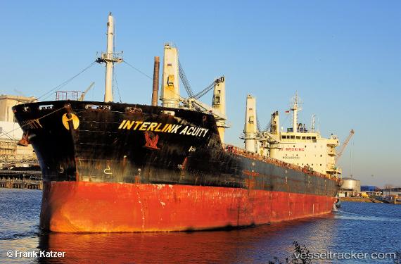
Vessel Interlink Acuity IMO: 9486582, MMSI: 538004177 Bulk Carrier
UTC, 24.78667, -60.90333, course: -1, speed: 10
UTC, 24.92833, -60.71167, course: -1, speed: 10
2026-01-17 14:43:33 UTC, 24.92833, -60.71167, course: -1, speed: 10
Live AIS position:
UTC. 170 nm W of Villa Elisa),
updated 2026-01-17 14:43:33 UTC.
Find the position of the vessel Interlink Acuity on the map. The latter are known coordinates and path.
marine traffic ship tracker show on live map
The current position of vessel Interlink Acuity is 24.92833 lat / -60.71167 lng. Updated: 2026-01-17 14:43:33 UTCDetails:
Last coordinates of the vessel:
UTC, 24.70833, -61.01833, course: -1, speed: 9UTC, 24.78667, -60.90333, course: -1, speed: 10
UTC, 24.92833, -60.71167, course: -1, speed: 10
2026-01-17 14:43:33 UTC, 24.92833, -60.71167, course: -1, speed: 10