 vesseltracker.com
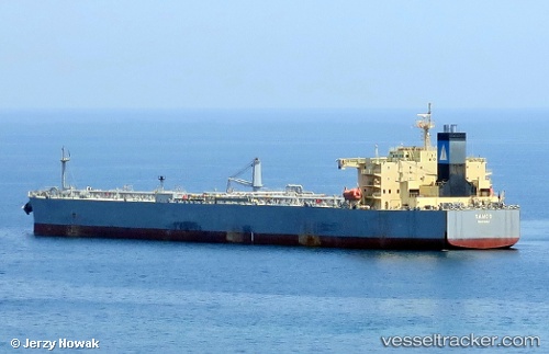
Vessel Samos IMO: 9486934, MMSI: 311040100 Crude Oil Tanker
UTC, 32.18932, -58.86188, course: 279, speed: 9.8
UTC, 32.20967, -58.99977, course: 266, speed: 9.1
2026-01-17 15:04:44 UTC, 32.13650, -59.24340, course: 244, speed: 8
Live AIS position:
UTC. 277 nm E of Saint George),
updated 2026-01-17 15:04:44 UTC.
Find the position of the vessel Samos on the map. The latter are known coordinates and path.
marine traffic ship tracker show on live map
The current position of vessel Samos is 32.13650 lat / -59.24340 lng. Updated: 2026-01-17 15:04:44 UTCDetails:
Last coordinates of the vessel:
UTC, 32.19640, -58.74105, course: 252, speed: 9.5UTC, 32.18932, -58.86188, course: 279, speed: 9.8
UTC, 32.20967, -58.99977, course: 266, speed: 9.1
2026-01-17 15:04:44 UTC, 32.13650, -59.24340, course: 244, speed: 8