 vesseltracker.com
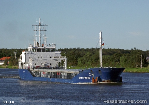
Find the position of the vessel KAREN on the map. The latter are known coordinates and path.
marine traffic ship tracker show on live map
The current position of vessel KAREN is 53.98012 lat / 14.24717 lng. Updated: 2025-11-02 06:05:47 UTCCurrently sailing under the flag of Antigua Barbuda
KAREN built in 2008 year
Deadweight:
4502 tDetails:
ex MMSI: 249327000
Last coordinates of the vessel:
UTC, 53.97972, 14.24731, course: 267, speed: 0UTC, 53.97979, 14.24723, course: 260, speed: 0
UTC, 53.98011, 14.24721, course: 240, speed: 0
2025-11-02 06:05:47 UTC, 53.98012, 14.24717, course: 238, speed: 0
The ship also appears on the maps: