 vesseltracker.com
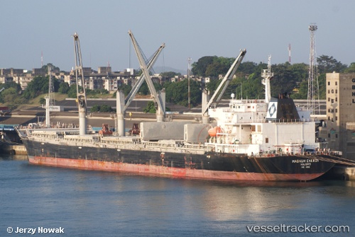
Find the position of the vessel Magnum Energy on the map. The latter are known coordinates and path.
marine traffic ship tracker show on live map
The current position of vessel Magnum Energy is 38.883541666667 lat / 118.38877833333 lng. Updated: 2025-09-30 03:59:22 UTCCurrently sailing under the flag of Marshall Is
Magnum Energy built in 2009 year
Deadweight:
53628 tDetails:
Last coordinates of the vessel:
2025-09-30 03:59:22 UTC, 38.883541666667, 118.38877833333, course: 243, speed: 0