 vesseltracker.com
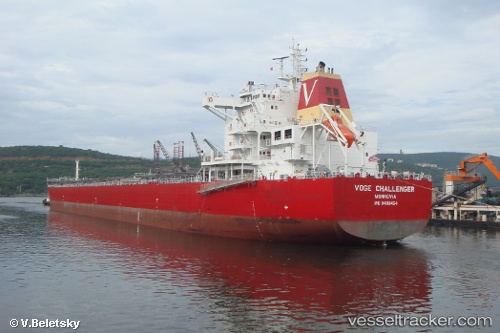
Find the position of the vessel Elinda Mare on the map. The latter are known coordinates and path.
marine traffic ship tracker show on live map
The current position of vessel Elinda Mare is 1.30765 lat / 103.644 lng. Updated: 2024-09-16 02:23:00 UTCship's destination: SINGAPORE
Currently sailing under the flag of Marshall Is
Elinda Mare built in 2010 year
Port of registry:
Monrovia (capital city of Liberia)Speed:
15.5 knotDeadweight:
79648 tPayload_mass:
79648 tonneGross tonnage:
43507Service entry:
2010-01-01T00:00:00ZDetails:
Last coordinates of the vessel:
2024-09-16 02:23:00 UTC, 1.30765, 103.644, destination: SINGAPORE, course: 34, speed: 0