 vesseltracker.com
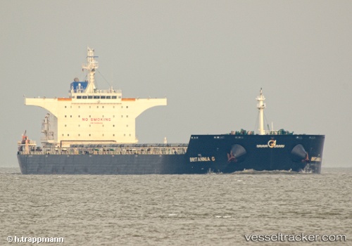
Vessel 'ANGLO MARIE LOUISE' IMO: 9490492, MMSI: 232025145
UTC, -25.96277, 32.82839, course: 243, speed: 0
UTC, -25.96213, 32.82810, course: 224, speed: 0
2026-01-16 17:26:33 UTC, -25.96155, 32.82753, course: 207, speed: 0
Live AIS position:
UTC. 14 nm E of Maputo),
updated 2026-01-16 17:26:33 UTC.
Find the position of the vessel 'ANGLO MARIE LOUISE' on the map. The latter are known coordinates and path.
marine traffic ship tracker show on live map
The current position of vessel 'ANGLO MARIE LOUISE' is -25.96155 lat / 32.82753 lng. Updated: 2026-01-16 17:26:33 UTCDetails:
Last coordinates of the vessel:
UTC, -25.96298, 32.82344, course: 113, speed: 0.1UTC, -25.96277, 32.82839, course: 243, speed: 0
UTC, -25.96213, 32.82810, course: 224, speed: 0
2026-01-16 17:26:33 UTC, -25.96155, 32.82753, course: 207, speed: 0