 vesseltracker.com
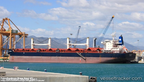
Find the position of the vessel INGWAR SELMER on the map. The latter are known coordinates and path.
marine traffic ship tracker show on live map
The current position of vessel INGWAR SELMER is -7.27203 lat / 78.488 lng. Updated: 2025-09-14 00:21:53 UTCCurrently sailing under the flag of Marshall Islands
INGWAR SELMER built in 2011 year
Deadweight:
58018 tDetails:
Last coordinates of the vessel:
UTC, -6.52175, 79.8003, course: 220, speed: 8.1UTC, -7.17888, 78.652, course: 241, speed: 9.5
UTC, -7.2414, 78.5424, course: 240, speed: 9.2
2025-09-14 00:21:53 UTC, -7.27203, 78.488, course: 241, speed: 9.4