 vesseltracker.com
Find the position of the vessel HL TUBARAO on the map. The latter are known coordinates and path.
marine traffic ship tracker show on live map
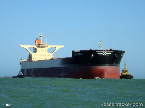
The current position of vessel HL TUBARAO is -2.56758 lat / -44.37974 lng. Updated: 2025-09-24 12:59:24 UTCCurrently sailing under the flag of Korea (Republic of)
HL TUBARAO built in 2011 year
Deadweight:
299688 tDetails:
Last coordinates of the vessel:
2025-09-24 12:59:24 UTC, -2.56758, -44.37974, course: 1, speed: 0