 vesseltracker.com
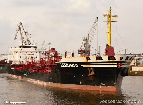
Find the position of the vessel BONDI on the map. The latter are known coordinates and path.
marine traffic ship tracker show on live map
The current position of vessel BONDI is 5.9305433333333 lat / 5.3152883333333 lng. Updated: 2025-10-30 10:21:25 UTCCurrently sailing under the flag of Marshall Islands
BONDI built in 2009 year
Deadweight:
15160 tDetails:
Last coordinates of the vessel:
UTC, 5.9305433333333, 5.3152883333333, course: 228, speed: 0.2UTC, 5.9305433333333, 5.3152883333333, course: 228, speed: 0.2
UTC, 5.9305433333333, 5.3152883333333, course: 228, speed: 0.2
2025-10-30 10:21:25 UTC, 5.9305433333333, 5.3152883333333, course: 228, speed: 0.2