 vesseltracker.com
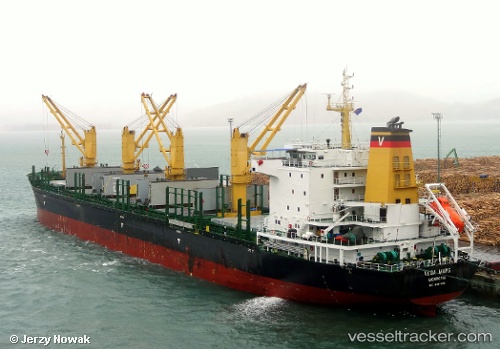
Vessel DIAS WELL IMO: 9497438, MMSI: 373735000 Bulk Carrier
UTC, -37.69286, -29.30413, course: 273, speed: 11.7
UTC, -37.69059, -29.75237, course: 270, speed: 11.5
2026-01-18 15:35:40 UTC, -37.68670, -30.23149, course: 271, speed: 11.2
Live AIS position:
UTC. 281 nm SE of Burzaco),
updated 2026-01-18 15:35:40 UTC.
Find the position of the vessel DIAS WELL on the map. The latter are known coordinates and path.
marine traffic ship tracker show on live map
The current position of vessel DIAS WELL is -37.68670 lat / -30.23149 lng. Updated: 2026-01-18 15:35:40 UTCCurrently sailing under the flag of Panama
DIAS WELL built in 2011 year
Deadweight:
31728 tDetails:
Last coordinates of the vessel:
UTC, -37.70006, -28.91298, course: 273, speed: 11UTC, -37.69286, -29.30413, course: 273, speed: 11.7
UTC, -37.69059, -29.75237, course: 270, speed: 11.5
2026-01-18 15:35:40 UTC, -37.68670, -30.23149, course: 271, speed: 11.2