 vesseltracker.com
Find the position of the vessel TINA S on the map. The latter are known coordinates and path.
marine traffic ship tracker show on live map
The current position of vessel TINA S is 27.96533 lat / -91.07400 lng. Updated: 2025-10-16 04:28:35 UTCCurrently sailing under the flag of Liberia
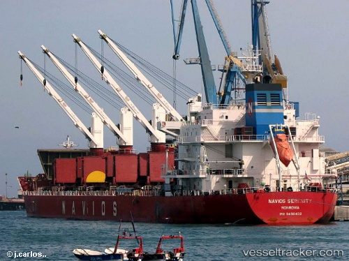
TINA S built in 2011 year
Deadweight:
34690 tDetails:
Last coordinates of the vessel:
UTC, 28.01503, -90.40570, course: 266, speed: 12.7UTC, 28.00951, -90.51991, course: 263, speed: 12.7
UTC, 27.97797, -90.95319, course: 262, speed: 13.3
2025-10-16 04:28:35 UTC, 27.96533, -91.07400, course: 262, speed: 13.4
The ship also appears on the maps: