 vesseltracker.com
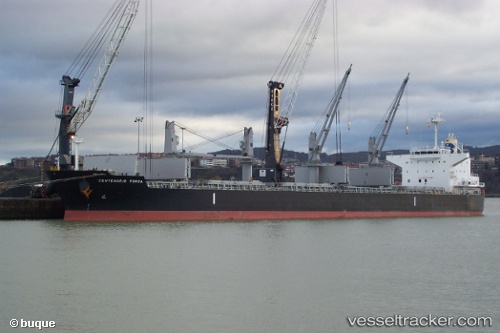
Vessel RB DYLAN IMO: 9500041, MMSI: 538009674 Bulk Carrier
UTC, 35.81640, -41.58085, course: 277, speed: 9.2
UTC, 35.84510, -41.95061, course: 276, speed: 9.7
2026-01-19 16:51:51 UTC, 35.84936, -41.99969, course: 277, speed: 9.3
Live AIS position:
UTC. 115 nm W of Eureka Springs),
updated 2026-01-19 16:51:51 UTC.
Find the position of the vessel RB DYLAN on the map. The latter are known coordinates and path.
marine traffic ship tracker show on live map
The current position of vessel RB DYLAN is 35.84936 lat / -41.99969 lng. Updated: 2026-01-19 16:51:51 UTCCurrently sailing under the flag of Marshall Islands
RB DYLAN built in 2012 year
Deadweight:
56129 tDetails:
Last coordinates of the vessel:
UTC, 35.80503, -41.44143, course: 277, speed: 9.3UTC, 35.81640, -41.58085, course: 277, speed: 9.2
UTC, 35.84510, -41.95061, course: 276, speed: 9.7
2026-01-19 16:51:51 UTC, 35.84936, -41.99969, course: 277, speed: 9.3