 vesseltracker.com
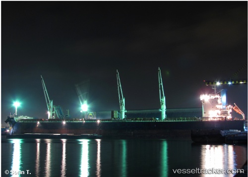
Vessel St George IMO: 9500663, MMSI: 538006811 Bulk Carrier
UTC, -13.05063, -1.16490, course: 320, speed: 10.5
UTC, -12.87186, -1.31200, course: 319, speed: 10.4
2026-01-17 05:49:36 UTC, -12.54141, -1.58566, course: 321, speed: 10.6
Live AIS position:
UTC. 285 nm NE of Levelwood),
updated 2026-01-17 05:49:36 UTC.
Find the position of the vessel St George on the map. The latter are known coordinates and path.
marine traffic ship tracker show on live map
The current position of vessel St George is -12.54141 lat / -1.58566 lng. Updated: 2026-01-17 05:49:36 UTCCurrently sailing under the flag of Marshall Is
St George built in 2012 year
Deadweight:
57959 tDetails:
Last coordinates of the vessel:
UTC, -13.42167, -0.85833, course: -1, speed: 10UTC, -13.05063, -1.16490, course: 320, speed: 10.5
UTC, -12.87186, -1.31200, course: 319, speed: 10.4
2026-01-17 05:49:36 UTC, -12.54141, -1.58566, course: 321, speed: 10.6