 vesseltracker.com
Find the position of the vessel Habrut on the map. The latter are known coordinates and path.
marine traffic ship tracker show on live map
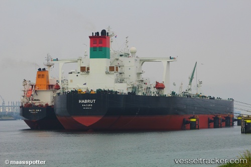
The current position of vessel Habrut is 29.833791666667 lat / 123.22489 lng. Updated: 2025-10-20 06:05:06 UTCCurrently sailing under the flag of Marshall Is
Habrut built in 2012 year
Deadweight:
319439 tDetails:
Last coordinates of the vessel:
UTC, 29.754126666667, 123.16133833333, course: 51, speed: 1.2UTC, 29.763148333333, 123.17713833333, course: 45, speed: 1.1
UTC, 29.78478, 123.20541333333, course: 15, speed: 4.4
2025-10-20 06:05:06 UTC, 29.833791666667, 123.22489, course: 14, speed: 0.8