 vesseltracker.com
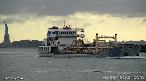
Vessel Redhook IMO: 9501916, MMSI: 367353660 Waste Disposal Vessel
UTC, 40.64146, -74.12637, course: 82, speed: 0.1
UTC, 40.64146, -74.12637, course: 81, speed: 0.1
2026-01-15 20:33:21 UTC, 40.64147, -74.12638, course: 83, speed: 0.1
Live AIS position:
UTC. Near Maher Terminal),
updated 2026-01-15 20:33:21 UTC.
Find the position of the vessel Redhook on the map. The latter are known coordinates and path.
marine traffic ship tracker show on live map
The current position of vessel Redhook is 40.64147 lat / -74.12638 lng. Updated: 2026-01-15 20:33:21 UTCCurrently sailing under the flag of USA
Redhook built in 2008 year
Deadweight:
4371 tDetails:
Last coordinates of the vessel:
UTC, 40.64379, -74.12511, course: 267, speed: 6.4UTC, 40.64146, -74.12637, course: 82, speed: 0.1
UTC, 40.64146, -74.12637, course: 81, speed: 0.1
2026-01-15 20:33:21 UTC, 40.64147, -74.12638, course: 83, speed: 0.1