 vesseltracker.com
Find the position of the vessel Titania on the map. The latter are known coordinates and path.
marine traffic ship tracker show on live map
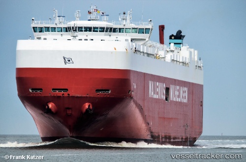
The current position of vessel Titania is 35.21667 lat / 151.19667 lng. Updated: 2025-10-08 16:56:33 UTCCurrently sailing under the flag of Malta
Titania built in 2011 year
Deadweight:
30907 tDetails:
Last coordinates of the vessel:
UTC, 35.23167, 151.01666, course: -1, speed: 15UTC, 35.22667, 151.06500, course: -1, speed: 16
UTC, 35.21667, 151.19667, course: -1, speed: 16
2025-10-08 16:56:33 UTC, 35.21667, 151.19667, course: -1, speed: 16