 vesseltracker.com
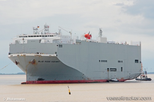
Find the position of the vessel Blue Ridge Highway on the map. The latter are known coordinates and path.
marine traffic ship tracker show on live map
The current position of vessel Blue Ridge Highway is -26.47161 lat / 111.83197 lng. Updated: 2025-11-03 15:54:01 UTCDetails:
Last coordinates of the vessel:
UTC, -27.37588, 112.22190, course: 337, speed: 16.1UTC, -26.92035, 112.02482, course: 337, speed: 17.2
UTC, -26.65111, 111.90891, course: 333, speed: 17.2
2025-11-03 15:54:01 UTC, -26.47161, 111.83197, course: 334, speed: 16.9