 vesseltracker.com
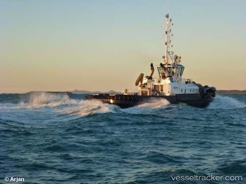
Vessel Kalarka IMO: 9510644, MMSI: 503635000 Tug
UTC, -21.24820, 149.30650, course: 140, speed: 3.7
UTC, -21.25574, 149.31267, course: 155, speed: 4.6
2026-01-16 19:47:16 UTC, -21.29132, 149.30029, course: 140, speed: 0
Live AIS position:
UTC. Near DALRYMPLE),
updated 2026-01-16 19:47:16 UTC.
Find the position of the vessel Kalarka on the map. The latter are known coordinates and path.
marine traffic ship tracker show on live map
The current position of vessel Kalarka is -21.29132 lat / 149.30029 lng. Updated: 2026-01-16 19:47:16 UTCDetails:
Last coordinates of the vessel:
UTC, -21.29131, 149.30028, course: 139, speed: 0UTC, -21.24820, 149.30650, course: 140, speed: 3.7
UTC, -21.25574, 149.31267, course: 155, speed: 4.6
2026-01-16 19:47:16 UTC, -21.29132, 149.30029, course: 140, speed: 0