vessel Ugo De Carlini IMO: 9511466, Bulk Carrier
vesseltracker.com
Vessel Ugo De Carlini IMO: 9511466, Bulk Carrier
MMSI: 247286500 callsign: ICMB size: 45x292

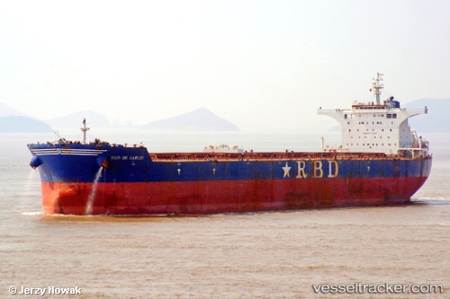
Find the position of the vessel Ugo De Carlini on the map. The latter are known coordinates and path.

marine traffic ship tracker show on live map

The current position of vessel Ugo De Carlini is 20.0102 lat / 38.5608 lng. Updated: 2023-04-29 06:14:30 UTC
Payload_mass:
175800 tonne
Gross tonnage:
91971
Service entry:
2010-01-01T00:00:00Z
Details:


Last coordinates of the vessel:
2023-04-29 06:14:30 UTC, 20.0102, 38.5608, course: 154, speed: 11.3


Most frequent ports a vessels calls at Ugo De Carlini (247286500):

Sambu, traffic: 5
Singapore, traffic: 3
Callao, traffic: 3
Richards Bay, traffic: 3
San Nicolas, traffic: 2
Selat Lombok, traffic: 2
Dampier, traffic: 2
Saldanha Bay, traffic: 1
Torres Strait, traffic: 1
Tsugaru-Kaikyo, traffic: 1
Dunkerque, traffic: 1
Yeosu, traffic: 1
Las Palmas, traffic: 1
Yosu, traffic: 1
Puerto De La Luz, traffic: 1

Link to the map:


Find another ship

Ugo_De_Carlini (247286500) last ports (portcalls and passsages)

Dunkerque | 2023-04-02 11:58:09
Puerto De La Luz | 2023-03-20 03:06:38
Richards Bay | 2023-02-24 08:49:44
Thursday Island | 2022-12-15 17:37:18
Saldanha Bay | 2022-10-24 16:25:53
Sambu | 2022-09-05 07:18:37
Tsugaru-Kaikyo | 2022-06-25 16:49:36
Callao | 2022-05-18 19:54:37
Callao | 2022-05-14 19:32:00
Callao | 2022-05-10 19:15:40
San Nicolas | 2022-05-06 13:20:36
San Nicolas | 2022-05-02 12:07:50
Yosu | 2022-03-16 06:02:29
Dampier | 2022-02-18 03:12:43
Selat Lombok | 2022-01-15 11:29:32
Sambu | 2021-12-22 09:00:21
Singapore | 2021-12-22 08:30:53
Richards Bay | 2021-12-01 00:38:38