 vesseltracker.com
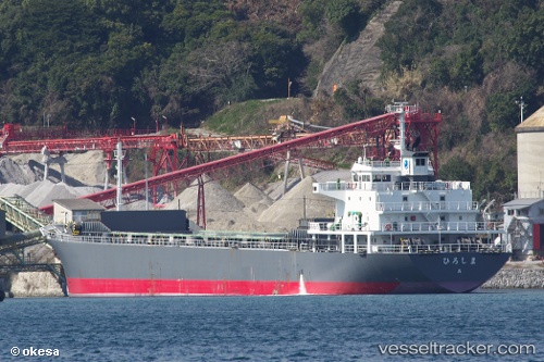
Vessel Hiroshima IMO: 9511765, MMSI: 431000995 Limestone Carrier
UTC, 33.08390, 131.87831, course: 294, speed: 0
UTC, 33.08417, 131.87843, course: 277, speed: 0
2026-01-16 15:44:17 UTC, 33.08333, 131.87666, course: -1, speed: 0
Live AIS position:
UTC. Near TSUKUMI),
updated 2026-01-16 15:44:17 UTC.
Find the position of the vessel Hiroshima on the map. The latter are known coordinates and path.
marine traffic ship tracker show on live map
The current position of vessel Hiroshima is 33.08333 lat / 131.87666 lng. Updated: 2026-01-16 15:44:17 UTCDetails:
Last coordinates of the vessel:
UTC, 33.08333, 131.87833, course: -1, speed: 0UTC, 33.08390, 131.87831, course: 294, speed: 0
UTC, 33.08417, 131.87843, course: 277, speed: 0
2026-01-16 15:44:17 UTC, 33.08333, 131.87666, course: -1, speed: 0