 vesseltracker.com
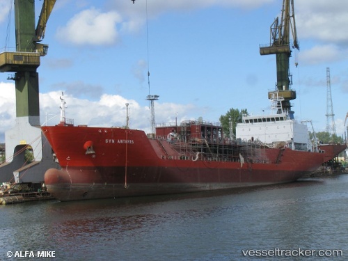
Find the position of the vessel Syn Antares on the map. The latter are known coordinates and path.
marine traffic ship tracker show on live map
The current position of vessel Syn Antares is 40.6458 lat / 18.0983 lng. Updated: 2025-07-16 22:15:29 UTCCurrently sailing under the flag of Italy
Syn Antares built in 2014 year
Deadweight:
8000 tDetails:
Last coordinates of the vessel:
UTC, 40.6456, 18.098, course: 330, speed: 0UTC, 40.6457, 18.0981, course: 330, speed: 0
UTC, 40.6459, 18.0983, course: 320, speed: 0
2025-07-16 22:15:29 UTC, 40.6458, 18.0983, course: 319, speed: 0