 vesseltracker.com
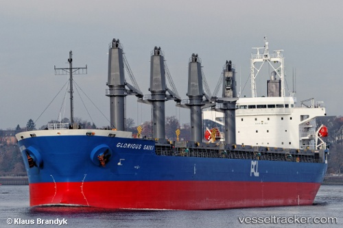
Vessel SUNNY SANDRA IMO: 9512903, MMSI: 538009619 General Cargo Ship
2026-01-09 23:47:30 UTC, 71.11832, -142.73474, course: 350, speed: 0.3
Live AIS position:
UTC. 119 nm NW of Herschel Island),
updated 2026-01-09 23:47:30 UTC.
Find the position of the vessel SUNNY SANDRA on the map. The latter are known coordinates and path.
marine traffic ship tracker show on live map
The current position of vessel SUNNY SANDRA is 71.11832 lat / -142.73474 lng. Updated: 2026-01-09 23:47:30 UTCCurrently sailing under the flag of Marshall Islands
SUNNY SANDRA built in 2012 year
Deadweight:
37154 tDetails:
Last coordinates of the vessel:
UTC, 71.11832, -142.73474, course: 350, speed: 0.32026-01-09 23:47:30 UTC, 71.11832, -142.73474, course: 350, speed: 0.3