 vesseltracker.com
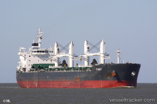
Find the position of the vessel FAST on the map. The latter are known coordinates and path.
marine traffic ship tracker show on live map
The current position of vessel FAST is -33.015453333333 lat / 17.988261666667 lng. Updated: 2025-11-04 22:21:56 UTCCurrently sailing under the flag of Marshall Islands
FAST built in 2012 year
Deadweight:
55398 tDetails:
Last coordinates of the vessel:
UTC, -33.015478333333, 17.988293333333, course: 202, speed: 0UTC, -33.015478333333, 17.988293333333, course: 202, speed: 0
UTC, -33.01542, 17.98827, course: 202, speed: 0
2025-11-04 22:21:56 UTC, -33.015453333333, 17.988261666667, course: 202, speed: 0