 vesseltracker.com
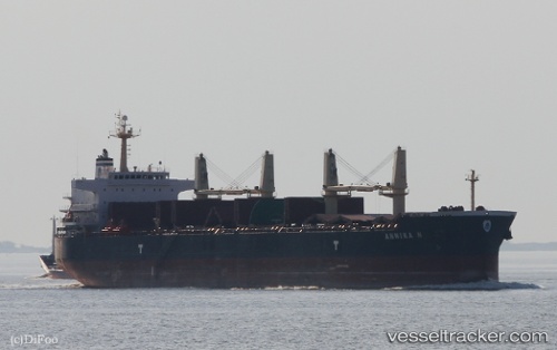
Vessel ANNIKA N IMO: 9514054, MMSI: 538008791
UTC, 29.94175, -71.39808, course: 74, speed: 12.4
UTC, 30.03697, -71.07975, course: 74, speed: 12.2
2026-01-18 23:06:41 UTC, 30.09363, -70.86285, course: 74, speed: 12.9
Live AIS position:
UTC. 211 nm S of Ben Slimane),
updated 2026-01-18 23:06:41 UTC.
Find the position of the vessel ANNIKA N on the map. The latter are known coordinates and path.
marine traffic ship tracker show on live map
The current position of vessel ANNIKA N is 30.09363 lat / -70.86285 lng. Updated: 2026-01-18 23:06:41 UTCDetails:
Last coordinates of the vessel:
UTC, 29.84847, -71.70132, course: 76, speed: 12.1UTC, 29.94175, -71.39808, course: 74, speed: 12.4
UTC, 30.03697, -71.07975, course: 74, speed: 12.2
2026-01-18 23:06:41 UTC, 30.09363, -70.86285, course: 74, speed: 12.9