 vesseltracker.com
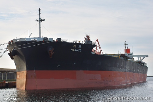
Vessel Hakuyo IMO: 9514963, MMSI: 357412000 Bulk Carrier
UTC, 20.97292, 146.81461, course: 335, speed: 10.1
UTC, 20.97938, 146.81172, course: 334, speed: 10.1
2026-01-17 11:07:40 UTC, 21.09486, 146.75165, course: 337, speed: 10.1
Live AIS position:
UTC. 357 nm N of Saipan),
updated 2026-01-17 11:07:40 UTC.
Find the position of the vessel Hakuyo on the map. The latter are known coordinates and path.
marine traffic ship tracker show on live map
The current position of vessel Hakuyo is 21.09486 lat / 146.75165 lng. Updated: 2026-01-17 11:07:40 UTCCurrently sailing under the flag of Panama
Hakuyo built in 2012 year
Deadweight:
92418 tDetails:
Last coordinates of the vessel:
UTC, 20.73272, 146.93176, course: 336, speed: 10.6UTC, 20.97292, 146.81461, course: 335, speed: 10.1
UTC, 20.97938, 146.81172, course: 334, speed: 10.1
2026-01-17 11:07:40 UTC, 21.09486, 146.75165, course: 337, speed: 10.1