 vesseltracker.com
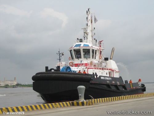
Vessel Mrs Doroty IMO: 9517783, MMSI: 730095000 Tug
UTC, 10.40667, -75.54343, course: 348, speed: 0
UTC, 10.40672, -75.54329, course: 306, speed: 0
2026-01-18 12:11:30 UTC, 10.39333, -75.54333, course: -1, speed: 9
Live AIS position:
UTC. Near Sociedad Portuaria Regional Cartagena),
updated 2026-01-18 12:11:30 UTC.
Find the position of the vessel Mrs Doroty on the map. The latter are known coordinates and path.
marine traffic ship tracker show on live map
The current position of vessel Mrs Doroty is 10.39333 lat / -75.54333 lng. Updated: 2026-01-18 12:11:30 UTCDetails:
Last coordinates of the vessel:
UTC, 10.40669, -75.54347, course: 359, speed: 0UTC, 10.40667, -75.54343, course: 348, speed: 0
UTC, 10.40672, -75.54329, course: 306, speed: 0
2026-01-18 12:11:30 UTC, 10.39333, -75.54333, course: -1, speed: 9