 vesseltracker.com
Find the position of the vessel Bosporus Highway on the map. The latter are known coordinates and path.
marine traffic ship tracker show on live map
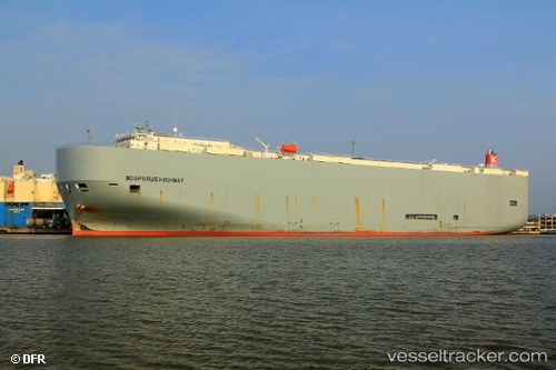
The current position of vessel Bosporus Highway is 32.44438 lat / -135.43127 lng. Updated: 2025-11-09 03:29:54 UTCCurrently sailing under the flag of Panama
Bosporus Highway built in 2009 year
Deadweight:
18792 tDetails:
Last coordinates of the vessel:
UTC, 32.56734, -134.71115, course: 254, speed: 17.8UTC, 32.51367, -134.98254, course: 257, speed: 17.4
UTC, 32.47900, -135.21938, course: 262, speed: 16.8
2025-11-09 03:29:54 UTC, 32.44438, -135.43127, course: 256, speed: 17.8
The ship also appears on the maps: