 vesseltracker.com
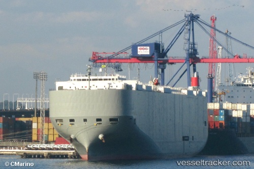
Find the position of the vessel Brasilia Highway on the map. The latter are known coordinates and path.
marine traffic ship tracker show on live map
The current position of vessel Brasilia Highway is -4.65599 lat / -35.47276 lng. Updated: 2025-11-06 08:35:25 UTCCurrently sailing under the flag of Panama
Brasilia Highway built in 2009 year
Deadweight:
18793 tDetails:
Last coordinates of the vessel:
UTC, -5.27355, -34.96493, course: 347, speed: 16.9UTC, -5.06019, -35.02357, course: 345, speed: 17.2
UTC, -4.85483, -35.16642, course: 304, speed: 17.5
2025-11-06 08:35:25 UTC, -4.65599, -35.47276, course: 303, speed: 17.7
The ship also appears on the maps: