 vesseltracker.com
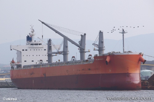
Vessel Pm Hayabusa IMO: 9520663, MMSI: 356718000 Bulk Carrier
UTC, 1.60682, -129.40974, course: 278, speed: 12.3
UTC, 1.61878, -129.60339, course: 277, speed: 12.2
2026-01-17 12:21:18 UTC, 1.62500, -129.69833, course: -1, speed: 12
Live AIS position:
UTC. 309 nm W of Amurang),
updated 2026-01-17 12:21:18 UTC.
Find the position of the vessel Pm Hayabusa on the map. The latter are known coordinates and path.
marine traffic ship tracker show on live map
The current position of vessel Pm Hayabusa is 1.62500 lat / -129.69833 lng. Updated: 2026-01-17 12:21:18 UTCDetails:
Last coordinates of the vessel:
UTC, 1.59355, -129.18636, course: 278, speed: 11.9UTC, 1.60682, -129.40974, course: 278, speed: 12.3
UTC, 1.61878, -129.60339, course: 277, speed: 12.2
2026-01-17 12:21:18 UTC, 1.62500, -129.69833, course: -1, speed: 12