 vesseltracker.com
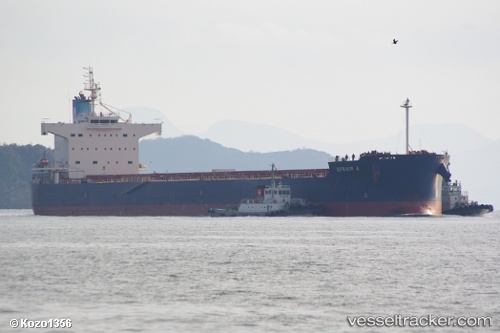
Find the position of the vessel Efraim A on the map. The latter are known coordinates and path.
marine traffic ship tracker show on live map
The current position of vessel Efraim A is 52.77333 lat / 165.08333 lng. Updated: 2025-10-31 17:21:17 UTCCurrently sailing under the flag of Cyprus
Efraim A built in 2010 year
Deadweight:
82174 tDetails:
Last coordinates of the vessel:
UTC, 52.70500, 164.63667, course: -1, speed: 12UTC, 52.74526, 164.89638, course: 77, speed: 12
UTC, 52.75624, 164.96533, course: 78, speed: 12.4
2025-10-31 17:21:17 UTC, 52.77333, 165.08333, course: -1, speed: 12