 vesseltracker.com
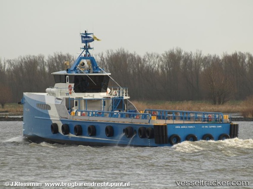
Find the position of the vessel Dona Angela Maria T on the map. The latter are known coordinates and path.
marine traffic ship tracker show on live map
The current position of vessel Dona Angela Maria T is 18.64893 lat / -91.84543 lng. Updated: 2025-11-14 22:52:00 UTCCurrently sailing under the flag of Mexico
Dona Angela Maria T built in 2009 year
Deadweight:
350 tDetails:
Last coordinates of the vessel:
UTC, 18.63702, -91.85737, course: -1, speed: 11.1UTC, 18.64892, -91.84540, course: -1, speed: 0
UTC, 18.64888, -91.84542, course: -1, speed: 0
2025-11-14 22:52:00 UTC, 18.64893, -91.84543, course: -1, speed: 0