 vesseltracker.com
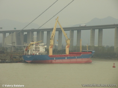
Vessel Mare I IMO: 9521887, MMSI: 357387000 Multi Purpose Carrier
UTC, 5.02500, 115.07333, course: -1, speed: 0
UTC, 5.02600, 115.07422, course: 234, speed: 0
2026-01-17 22:05:12 UTC, 5.02602, 115.07424, course: 234, speed: 0
Live AIS position:
UTC. Near Muara),
updated 2026-01-17 22:05:12 UTC.
Find the position of the vessel Mare I on the map. The latter are known coordinates and path.
marine traffic ship tracker show on live map
The current position of vessel Mare I is 5.02602 lat / 115.07424 lng. Updated: 2026-01-17 22:05:12 UTCCurrently sailing under the flag of Panama
Mare I built in 2009 year
Deadweight:
7608 tDetails:
Last coordinates of the vessel:
UTC, 5.02500, 115.07333, course: -1, speed: 0UTC, 5.02500, 115.07333, course: -1, speed: 0
UTC, 5.02600, 115.07422, course: 234, speed: 0
2026-01-17 22:05:12 UTC, 5.02602, 115.07424, course: 234, speed: 0