 vesseltracker.com
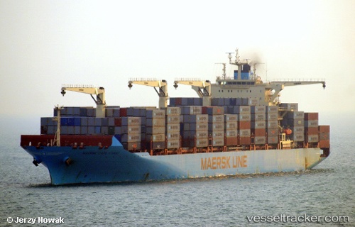
Find the position of the vessel Maersk Cape Coast on the map. The latter are known coordinates and path.
marine traffic ship tracker show on live map
The current position of vessel Maersk Cape Coast is 35.994123333333 lat / 120.26954166667 lng. Updated: 2025-11-06 03:39:53 UTCDetails:
Last coordinates of the vessel:
UTC, 35.994081666667, 120.26963666667, course: 73, speed: 0UTC, 35.99404, 120.26957333333, course: 73, speed: 0
UTC, 35.994106666667, 120.26956833333, course: 73, speed: 0
2025-11-06 03:39:53 UTC, 35.994123333333, 120.26954166667, course: 73, speed: 0