 vesseltracker.com
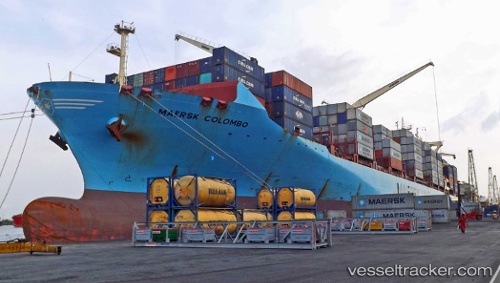
Find the position of the vessel Maersk Colombo on the map. The latter are known coordinates and path.
marine traffic ship tracker show on live map
The current position of vessel Maersk Colombo is -21.109813333333 lat / 12.040806666667 lng. Updated: 2025-10-15 17:47:11 UTCDetails:
Last coordinates of the vessel:
UTC, -20.40689, 11.74548, course: 158, speed: 14.5UTC, -20.585935, 11.821248333333, course: 159, speed: 14.6
UTC, -20.922591666667, 11.966085, course: 158, speed: 15
2025-10-15 17:47:11 UTC, -21.109813333333, 12.040806666667, course: 160, speed: 14.4