 vesseltracker.com
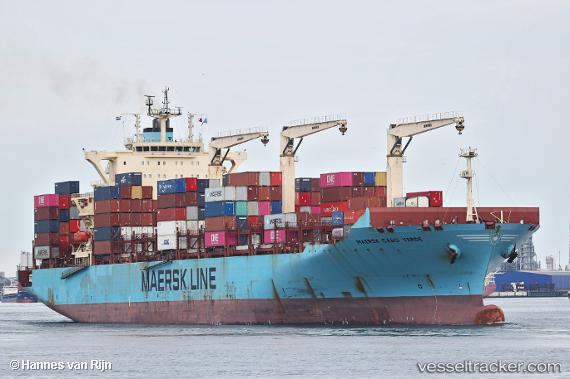
Find the position of the vessel Maersk Cabo Verde on the map. The latter are known coordinates and path.
marine traffic ship tracker show on live map
The current position of vessel Maersk Cabo Verde is 6.34558 lat / 2.42135 lng. Updated: 2025-11-06 23:57:50 UTCCurrently sailing under the flag of Hong Kong
Maersk Cabo Verde built in 2012 year
Deadweight:
61643 tDetails:
Last coordinates of the vessel:
UTC, 6.34553, 2.42125, course: 265, speed: 0UTC, 6.34559, 2.42123, course: 265, speed: 0
UTC, 6.34554, 2.42126, course: 265, speed: 0
2025-11-06 23:57:50 UTC, 6.34558, 2.42135, course: 265, speed: 0