 vesseltracker.com
Find the position of the vessel PETALIDI on the map. The latter are known coordinates and path.
marine traffic ship tracker show on live map
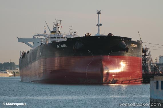
The current position of vessel PETALIDI is -33.29565 lat / 16.83368 lng. Updated: 2025-10-26 05:38:30 UTCCurrently sailing under the flag of Liberia
PETALIDI built in 2012 year
Deadweight:
158532 tDetails:
Last coordinates of the vessel:
UTC, -33.73242, 17.23728, course: 320, speed: 14.2UTC, -33.63553, 17.14687, course: 320, speed: 14.2
UTC, -33.44798, 16.97209, course: 320, speed: 14.2
2025-10-26 05:38:30 UTC, -33.29565, 16.83368, course: 321, speed: 13.9
The ship also appears on the maps: