 vesseltracker.com
Find the position of the vessel OCEAN TRANGA on the map. The latter are known coordinates and path.
marine traffic ship tracker show on live map
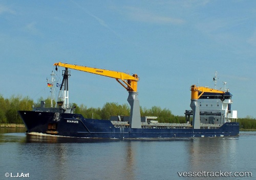
The current position of vessel OCEAN TRANGA is 17.25959 lat / -72.26309 lng. Updated: 2025-10-28 15:55:21 UTCCurrently sailing under the flag of Portugal
OCEAN TRANGA built in 2011 year
Deadweight:
8273 tDetails:
Last coordinates of the vessel:
UTC, 17.20865, -71.70574, course: 266, speed: 4.9UTC, 17.20661, -71.79346, course: 266, speed: 5.3
UTC, 17.22058, -72.07375, course: 282, speed: 5.6
2025-10-28 15:55:21 UTC, 17.25959, -72.26309, course: 276, speed: 5.2