 vesseltracker.com
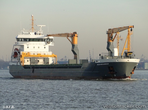
Vessel Timber Navigator IMO: 9532824, MMSI: 244909000 Multi Purpose Carrier
UTC, 25.50834, -85.46173, course: 164, speed: 11.8
UTC, 25.50834, -85.46173, course: 164, speed: 11.8
2026-01-17 12:21:05 UTC, 25.50834, -85.46173, course: 164, speed: 11.8
Live AIS position:
UTC. 149 nm NW of Florida Straits),
updated 2026-01-17 12:21:05 UTC.
Find the position of the vessel Timber Navigator on the map. The latter are known coordinates and path.
marine traffic ship tracker show on live map
The current position of vessel Timber Navigator is 25.50834 lat / -85.46173 lng. Updated: 2026-01-17 12:21:05 UTCCurrently sailing under the flag of Netherlands
Timber Navigator built in 2011 year
Deadweight:
8270 tDetails:
Last coordinates of the vessel:
UTC, 25.50834, -85.46173, course: 164, speed: 11.8UTC, 25.50834, -85.46173, course: 164, speed: 11.8
UTC, 25.50834, -85.46173, course: 164, speed: 11.8
2026-01-17 12:21:05 UTC, 25.50834, -85.46173, course: 164, speed: 11.8