 vesseltracker.com
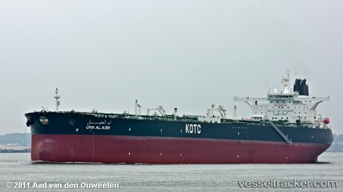
Find the position of the vessel Umm Al Aish on the map. The latter are known coordinates and path.
marine traffic ship tracker show on live map
The current position of vessel Umm Al Aish is 21.68247 lat / 122.09273 lng. Updated: 2025-10-31 01:25:31 UTCCurrently sailing under the flag of Kuwait
Umm Al Aish built in 2011 year
Deadweight:
319634 tDetails:
Last coordinates of the vessel:
UTC, 22.17008, 122.23209, course: 195, speed: 15UTC, 21.99662, 122.14215, course: 201, speed: 14.1
UTC, 21.85569, 122.10801, course: 187, speed: 14.2
2025-10-31 01:25:31 UTC, 21.68247, 122.09273, course: 187, speed: 15