 vesseltracker.com
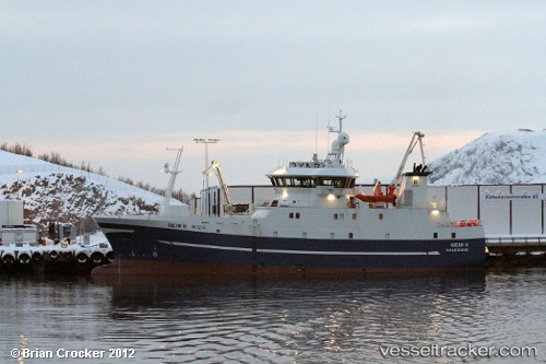
Find the position of the vessel KLAKKUR on the map. The latter are known coordinates and path.
marine traffic ship tracker show on live map
The current position of vessel KLAKKUR is 61.86964 lat / -7.12137 lng. Updated: 2025-11-04 18:17:01 UTCCurrently sailing under the flag of Faroe Islands
KLAKKUR built in 2010 year
Deadweight:
800 tDetails:
Last coordinates of the vessel:
UTC, 61.99959, -6.70520, course: 191, speed: 9.4UTC, 61.92192, -6.76206, course: 255, speed: 7.6
UTC, 61.90630, -7.03349, course: 228, speed: 4.6
2025-11-04 18:17:01 UTC, 61.86964, -7.12137, course: 236, speed: 6.5