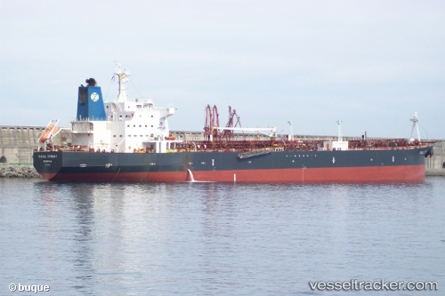
 vesseltracker.com
Live AIS position:
11.09660° N, 74.93570° W UTC. Near Puerto Colombia),
updated 2025-11-21 06:12:33 UTC.
Find the position of the vessel Canal Street on the map. The latter are known coordinates and path.
marine traffic ship tracker show on live map
The current position of vessel Canal Street is 11.09660 lat / -74.93570 lng. Updated: 2025-11-21 06:12:33 UTCDetails:
Last coordinates of the vessel:
UTC, 11.09500, -74.93500, course: -1, speed: 0UTC, 11.09500, -74.93500, course: -1, speed: 0
UTC, 11.09666, -74.93500, course: -1, speed: 0
2025-11-21 06:12:33 UTC, 11.09660, -74.93570, course: 40, speed: 0.2