 vesseltracker.com
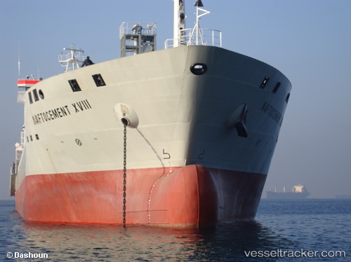
Vessel YANG A IMO: 9540326, MMSI: 255802280 Cement Carrier
UTC, 42.78241, 16.59035, course: 159, speed: 11.2
UTC, 42.47327, 16.76663, course: 158, speed: 11.4
2026-01-16 02:13:32 UTC, 42.29930, 16.85937, course: 157, speed: 12
Live AIS position:
UTC. 27 nm S of Ubli),
updated 2026-01-16 02:13:32 UTC.
Find the position of the vessel YANG A on the map. The latter are known coordinates and path.
marine traffic ship tracker show on live map
The current position of vessel YANG A is 42.29930 lat / 16.85937 lng. Updated: 2026-01-16 02:13:32 UTCCurrently sailing under the flag of Portugal (MAR)
YANG A built in 2009 year
Deadweight:
15500 tDetails:
Last coordinates of the vessel:
UTC, 42.88365, 16.53750, course: 159, speed: 11.3UTC, 42.78241, 16.59035, course: 159, speed: 11.2
UTC, 42.47327, 16.76663, course: 158, speed: 11.4
2026-01-16 02:13:32 UTC, 42.29930, 16.85937, course: 157, speed: 12