 vesseltracker.com
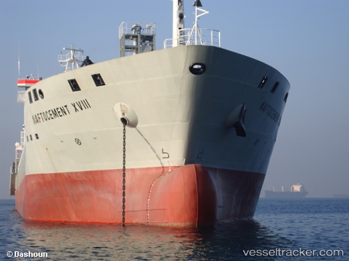
Find the position of the vessel YANG A on the map. The latter are known coordinates and path.
marine traffic ship tracker show on live map
The current position of vessel YANG A is 22.1681 lat / 114.12 lng. Updated: 2025-07-19 22:35:42 UTCCurrently sailing under the flag of Portugal (MAR)
YANG A built in 2009 year
Deadweight:
15500 tDetails:
Last coordinates of the vessel:
UTC, 22.1684, 114.119, course: 355, speed: 0.1UTC, 22.1683, 114.12, course: 338, speed: 0.2
UTC, 22.1681, 114.119, course: 351, speed: 0.8
2025-07-19 22:35:42 UTC, 22.1681, 114.12, course: 338, speed: 0.9