 vesseltracker.com
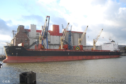
Vessel ANTIGONI FORCE IMO: 9541837, MMSI: 538009920 Bulk Carrier
UTC, 13.23509, 94.87881, course: 340, speed: 11.5
UTC, 13.30237, 94.84399, course: 336, speed: 11.7
2026-01-16 12:24:20 UTC, 13.30237, 94.84399, course: 336, speed: 11.7
Live AIS position:
UTC. 118 nm W of Yetagun Field),
updated 2026-01-16 12:24:20 UTC.
Find the position of the vessel ANTIGONI FORCE on the map. The latter are known coordinates and path.
marine traffic ship tracker show on live map
The current position of vessel ANTIGONI FORCE is 13.30237 lat / 94.84399 lng. Updated: 2026-01-16 12:24:20 UTCCurrently sailing under the flag of Marshall Islands
ANTIGONI FORCE built in 2013 year
Deadweight:
58514 tDetails:
Last coordinates of the vessel:
UTC, 10.25342, 96.32443, course: 335, speed: 11.6UTC, 13.23509, 94.87881, course: 340, speed: 11.5
UTC, 13.30237, 94.84399, course: 336, speed: 11.7
2026-01-16 12:24:20 UTC, 13.30237, 94.84399, course: 336, speed: 11.7