 vesseltracker.com
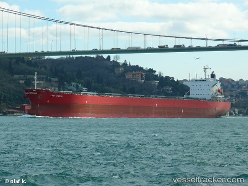
Vessel Lady Marite IMO: 9544712, MMSI: 353544000 Bulk Carrier
UTC, 6.37082, 79.53673, course: 106, speed: 1.3
UTC, 6.33923, 79.56113, course: 88, speed: 1.4
2026-01-17 11:12:06 UTC, 6.31883, 79.58128, course: 88, speed: 1.6
Live AIS position:
UTC. 25 nm W of Bentota River Apt),
updated 2026-01-17 11:12:06 UTC.
Find the position of the vessel Lady Marite on the map. The latter are known coordinates and path.
marine traffic ship tracker show on live map
The current position of vessel Lady Marite is 6.31883 lat / 79.58128 lng. Updated: 2026-01-17 11:12:06 UTCDetails:
Last coordinates of the vessel:
UTC, 6.41893, 79.51498, course: 122, speed: 1.4UTC, 6.37082, 79.53673, course: 106, speed: 1.3
UTC, 6.33923, 79.56113, course: 88, speed: 1.4
2026-01-17 11:12:06 UTC, 6.31883, 79.58128, course: 88, speed: 1.6