 vesseltracker.com
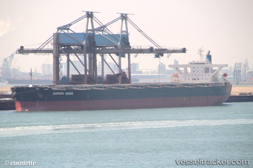
Vessel Cape Miron IMO: 9545168, MMSI: 636017316 Bulk Carrier
UTC, 32.38692, 34.35290, course: 66, speed: 1.1
UTC, 32.36110, 34.35290, course: 68, speed: 1.1
2026-01-19 01:21:12 UTC, 32.35220, 34.35282, course: 71, speed: 1.2
Live AIS position:
UTC. 25 nm W of Ga'ash),
updated 2026-01-19 01:21:12 UTC.
Find the position of the vessel Cape Miron on the map. The latter are known coordinates and path.
marine traffic ship tracker show on live map
The current position of vessel Cape Miron is 32.35220 lat / 34.35282 lng. Updated: 2026-01-19 01:21:12 UTCCurrently sailing under the flag of Liberia
Cape Miron built in 2009 year
Deadweight:
180274 tDetails:
Last coordinates of the vessel:
UTC, 32.41200, 34.35340, course: 70, speed: 1.1UTC, 32.38692, 34.35290, course: 66, speed: 1.1
UTC, 32.36110, 34.35290, course: 68, speed: 1.1
2026-01-19 01:21:12 UTC, 32.35220, 34.35282, course: 71, speed: 1.2