 vesseltracker.com
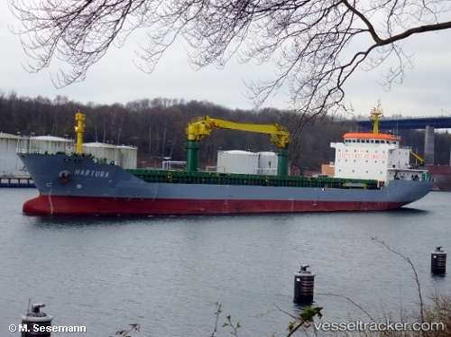
Vessel Mv Hartura IMO: 9546447, MMSI: 247285200 General Cargo Ship
UTC, 37.88802, 16.53763, course: 86, speed: 10.3
UTC, 37.90288, 16.68343, course: 86, speed: 10.2
2026-01-18 07:40:14 UTC, 37.91750, 16.88894, course: 86, speed: 9.5
Live AIS position:
UTC. 33 nm SE of Roccella Ionica),
updated 2026-01-18 07:40:14 UTC.
Find the position of the vessel Mv Hartura on the map. The latter are known coordinates and path.
marine traffic ship tracker show on live map
The current position of vessel Mv Hartura is 37.91750 lat / 16.88894 lng. Updated: 2026-01-18 07:40:14 UTCCurrently sailing under the flag of Italy
Mv Hartura built in 2009 year
Deadweight:
11500 tDetails:
Last coordinates of the vessel:
UTC, 37.87167, 16.31579, course: 86, speed: 10.1UTC, 37.88802, 16.53763, course: 86, speed: 10.3
UTC, 37.90288, 16.68343, course: 86, speed: 10.2
2026-01-18 07:40:14 UTC, 37.91750, 16.88894, course: 86, speed: 9.5