 vesseltracker.com
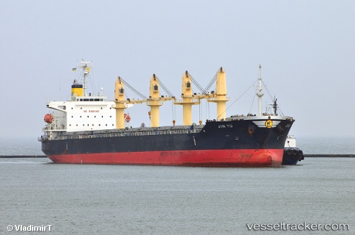
Find the position of the vessel Ken Yo on the map. The latter are known coordinates and path.
marine traffic ship tracker show on live map
The current position of vessel Ken Yo is 36.18883 lat / 140.83527 lng. Updated: 2025-11-05 10:05:27 UTCCurrently sailing under the flag of Panama
Ken Yo built in 2012 year
Deadweight:
38462 tDetails:
Last coordinates of the vessel:
UTC, 36.00626, 140.73120, course: 26, speed: 10.7UTC, 36.16749, 140.82472, course: 22, speed: 11.3
UTC, 36.17517, 140.82889, course: 22, speed: 11.6
2025-11-05 10:05:27 UTC, 36.18883, 140.83527, course: 18, speed: 11.8