 vesseltracker.com
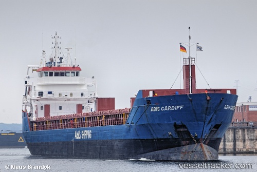
Vessel Longvik IMO: 9548299, MMSI: 246669000 General Cargo Ship
UTC, 55.28288, 12.72400, course: 114, speed: 9.8
UTC, 55.21007, 13.05895, course: 108, speed: 10.2
2026-01-17 18:27:55 UTC, 55.19478, 13.15365, course: 101, speed: 10.4
Live AIS position:
UTC. 10 nm S of Trelleborg),
updated 2026-01-17 18:27:55 UTC.
Find the position of the vessel Longvik on the map. The latter are known coordinates and path.
marine traffic ship tracker show on live map
The current position of vessel Longvik is 55.19478 lat / 13.15365 lng. Updated: 2026-01-17 18:27:55 UTCCurrently sailing under the flag of Netherlands
Longvik built in 2011 year
Deadweight:
6050 tDetails:
Last coordinates of the vessel:
UTC, 55.31457, 12.64018, course: 169, speed: 9.8UTC, 55.28288, 12.72400, course: 114, speed: 9.8
UTC, 55.21007, 13.05895, course: 108, speed: 10.2
2026-01-17 18:27:55 UTC, 55.19478, 13.15365, course: 101, speed: 10.4