 vesseltracker.com
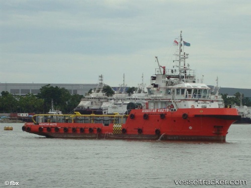
Find the position of the vessel MISR GULF 110 on the map. The latter are known coordinates and path.
marine traffic ship tracker show on live map
The current position of vessel MISR GULF 110 is 29.03900 lat / 32.64350128173828 lng. Updated: 2024-08-03 04:38:24 UTCCurrently sailing under the flag of St Vincent and Grenadines
MISR GULF 110 built in 2009 year
Deadweight:
700 tDetails:
Last coordinates of the vessel:
2024-08-03 04:38:24 UTC, 29.03900, 32.64350128173828, course: -1, speed: 10.6